|
| *****SWAAG_ID***** | 661 |
| Date Entered | 10/12/2012 |
| Updated on | 22/12/2012 |
| Recorded by | Tim Laurie |
| Category | Ring Cairns |
| Record Type | Archaeology |
| Site Access | Public Access Land |
| Record Date | 01/01/2005 |
| Location | Countersett. Bardale, below Scout Crag |
| Civil Parish | Bainbridge |
| Brit. National Grid | SD 878 864 |
| Altitude | 520m |
| Geology | Drift covered slope below The Main Limestone |
| Record Name | Stone walled ring bank at Scout Crag above Semer Water |
| Record Description | Ring bank defined by a coursed limestone 'wall' interpreted as a ring cairn but in my view unlikely to be ancient.
All prehistoric ring cairns are defined by low circular banks of stone dump ie 'cairn' construction, which may be revetted with slabs set on edge, but which are never built of coursed stone as this ring is. It is however possible that this ring work is a burial as there is a central cairn. It may indeed mark the site of a recent human interment, or possibly that of a favourite horse or sheep dog! |
| Dimensions | See photo |
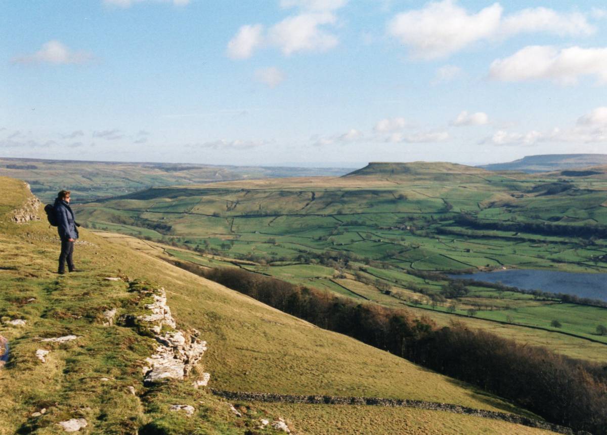
| Additional Notes | This site at Scout Crag has views down Bardale to Semer Water which are very fine. A place fit for a princely burial site! |
| Image 1 ID | 3847 Click image to enlarge |
| Image 1 Description | The Scout Crag ring work |  |
| Image 2 ID | 3848 Click image to enlarge |
| Image 2 Description | Semerwater from Counterset Crag. | 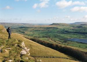 |